Download Field App
A free, GPS-enabled app for collecting consistent field data on culverts, weirs, and other in-stream structures — helping identify fish passage barriers, guide remediation efforts, and support long-term waterway management.
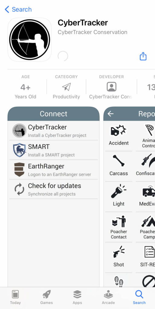
1. Installing CyberTracker
Download the free CyberTracker app from your device’s app store:
-
Android: Google Play Store
-
iOS: Apple App Store
CyberTracker serves as the platform for running the Structures in Waterways Field App.
2. Open CyberTracker
Once installed, open the CyberTracker app on your device.
3. Adjust Settings (Android Only)
For Android users:
-
Tap on Settings within the CyberTracker app.
-
Enable the toggle for “Upload requires WiFi” to ensure data uploads occur only over Wi-Fi connections.
4. Installing CyberTracker
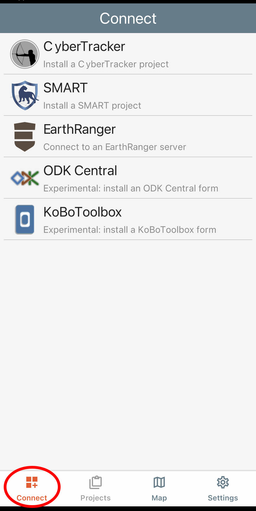
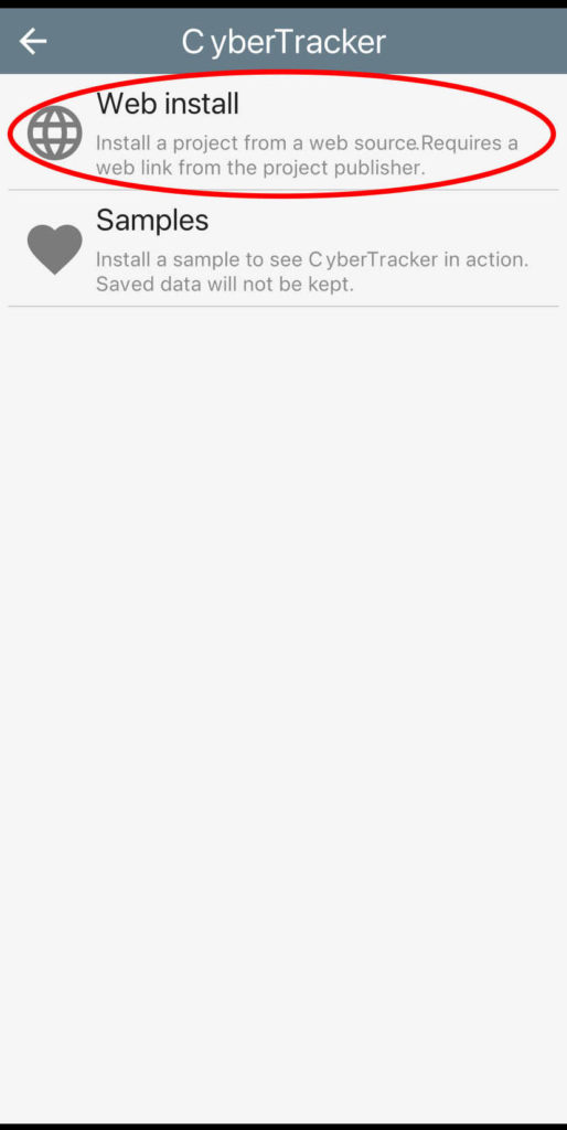
To install the Structures in Waterways project:
-
Tap on Connect.
-
Select CyberTracker (Install a CyberTracker project).
-
Choose Web install.

5. Enter Project URL
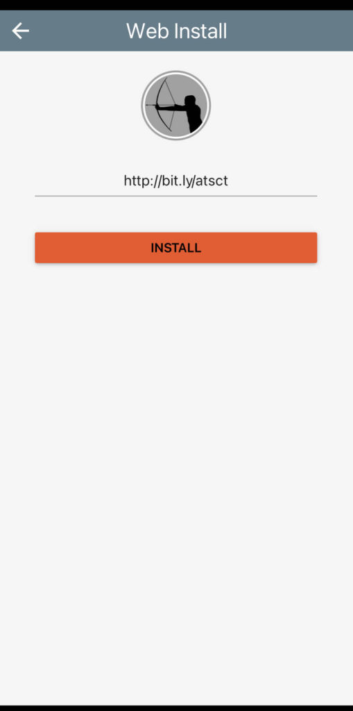
Manually type the following URL into the provided field:
https://bit.ly/atsct
Then, tap on Install.
6. Access the Project
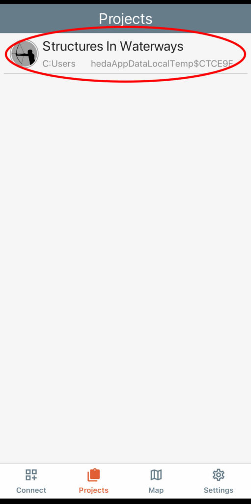
After installation, the project named “Structures in Waterways” will appear in your list of projects within the CyberTracker app.
You’re now ready to start collecting data. The app offers three types of surveys:
-
Full Survey: Comprehensive data collection for detailed assessments.
-
Quick Survey: Simplified survey for rapid assessments or when access is limited.
-
Monitoring Survey: For ongoing assessments of previously surveyed structures.
Each survey type is designed to capture specific information relevant to fish passage and waterway structures.
Need Assistance?
If you require further help:
-
Visit the Field App Help Page for detailed guidance.
-
Contact ATS Environmental directly:
-
Phone: +64 (0) 7 312 4647
-
Mobile: +64 (0) 27 357 3657
-
Email: info@ats-environmental.com
-
COPYRIGHT © – All rights reserved
Pat. 777607
